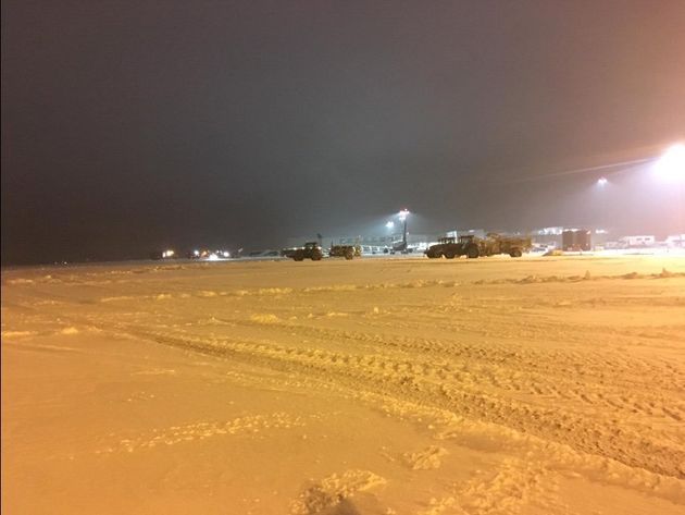
Commuters were warned to expect widespread disruption following heavy snowfall overnight as thermometers plunged to their lowest level since 2012.
Motorists were told to prepare for delays in cold weather after more than 100 cars were stranded on the A30 near Temple in Cornwall overnight.
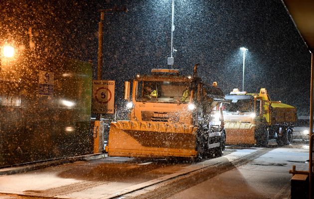
Highways England said on Friday morning that it had teams of gritters and ploughs working to get traffic moving.
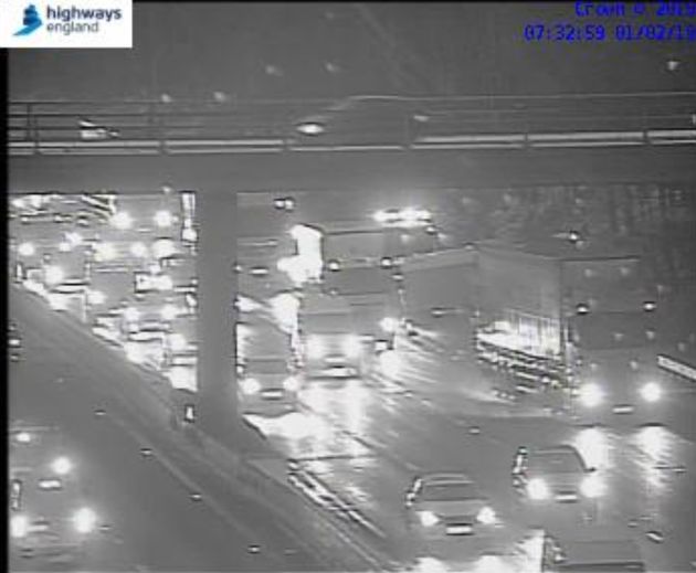
An overturned vehicle on the busy M3 motorway into London was among the early incidents causing congestion.
Flights to and from Bristol and Bournemouth airports have been suspended due to the weather.
Rail services were hit by cancellations and delays due to freezing rails and staff shortages.
And school snow closures were expected to impact many areas in the south and west of England, and in Wales.

The South Western Railway said it was planning to run a normal timetable, but warned some early services may need to be cancelled as routes are cleared.
Souteastern said it was running its winter timetable, reducing services from East Sussex and Kent into London.
Meanwhile, forecasters re-iterated “risk to life” warnings as much of southern England and Wales woke to more snow and ice.

An amber snow warning – which suggests “possible risk to life and property” – has been issued for an area west of the capital.
Parts of Oxfordshire, Hampshire and Buckinghamshire are covered by the warning, with stranded vehicles and power cuts “likely”, and a “good chance” some rural communities could be cut off.
The Met Office encouraged people to keep up-to-date with weather warnings on its website.
Temperatures dipped as low as minus 15.4C (4.3F) overnight, the Met Office said.
The minimum was recorded just before midnight at Braemar in Aberdeenshire.
Had it fallen more than 0.2C (0.4F) lower it would have surpassed the low of minus 15.6C (3.92F) set in 2012.

Met Office meteorologist Emma Smith said: “There is still sleet and snow across southern counties, the band is currently sitting across the south-west and Wales and across to East Anglia and London.
“It’s kind of pivoting in place and it’s not really moving very far. What will be happening to it is it will get patchier as it goes on, but it could cause some disruption to rush hour.
“Temperatures are widely below freezing so there’s icy stretches so people will have to take care going into work.”
By lunchtime temperatures in the South East are expected to nudge towards 4C, meaning the sleet and snow should turn to rain.
However the rest of the country, with the exception of southern Scotland and Northern Ireland, is expected to see wintry showers persist into Friday evening.
“Into the afternoon those showers will go into the Pennies and the Peak District as well,” Smith said.