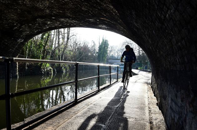
With a sharp frost on the ground and a bite in the air, the first day back to work after the New Year festivities felt much colder outside, with many parts of Britain experiencing a drop in temperatures.
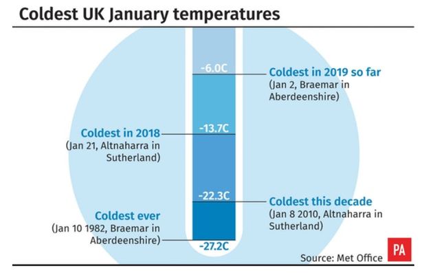
The mercury dipped as low as -6C overnight. A weather system currently brewing over the Arctic means we have a 60% likelihood of a potentially lengthy cold snap, sending temperatures plummeting and giving rise to the possibility of snow.
The weather system, known as SSW, occurs when air high over the North Pole warms and pushes colder Arctic temperatures down towards Britain, leading to a plunge in temperature for up to two weeks.
SSW has given periods of temperatures as low as -18C in recent years, including -18.4C in the Highlands in Scotland in February 2009.

But the meteorological event is still dependent on several other factors, and Met Office meteorologist Sarah Kent told HuffPost UK it is unlikely to result in the “snowmageddon” conditions of March last year.
She said: “The Beast from the East is still locked in its lair.”

A low of -6C was recorded by the Met Office at Glasgow and Braemar in the early hours of Wednesday, while lows of -4C were recorded in North Wales and -2C in the North West of England.
Temperatures were expected to peak at around 7C in London as the day wears on, with highs of 6C in Manchester, 4C in Newcastle and 3C in Edinburgh.
The weather is set to warm up slightly by the weekend, though rain is anticipated for some parts of Scotland.